Doctor Raúl Peña | |
|---|---|
District | |
 Doctor Raúl Peña | |
| Coordinates: 26°9′0″S 55°16′0″W / 26.15000°S 55.26667°W | |
| Country | Paraguay |
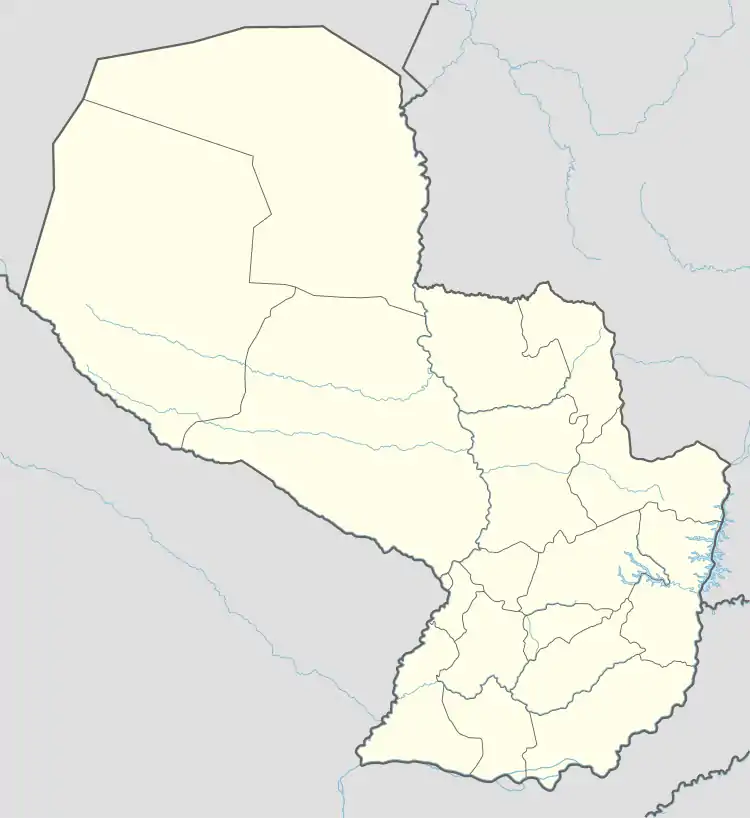
| Department | Alto Paraná |
| Foundation | September 11, 2012 |
| Government | |
| • Intendente municipal | Gustavo Javier Cano Barrios |
| Area | |
| • Total | 225 km2 (87 sq mi) |
| Population (2017)[1] | |
| • Total | 9,053 |
| Time zone | -4 Gmt |
| Postal code | 7570 |
| Area code | (595) (672) |
| Climate | Cfa |
Doctor Raúl Peña is a district located in the Alto Paraná Department of Paraguay. It was previously part of the Naranjal District and it was created as a district on September 11, 2012.[2]
References
- ↑ DGEEC. "Proyección de la población por sexo y edad, según distrito. Revisión 2015" (PDF). pp. 32–37. Archived from the original (PDF) on 16 October 2015. Retrieved 11 October 2015.
- ↑ Biblioteca y Archivo Central del Congreso Nacional (28 October 2014). "CREACION EL MUNICIPIO DR. RAÚL PEÑA - X DEPARTAMENTO ALTO PARANÁ". Retrieved 28 October 2014.

This article is issued from Wikipedia. The text is licensed under Creative Commons - Attribution - Sharealike. Additional terms may apply for the media files.