Dinsmore | |
|---|---|
| Nickname: Center of the Emerald Triangle | |
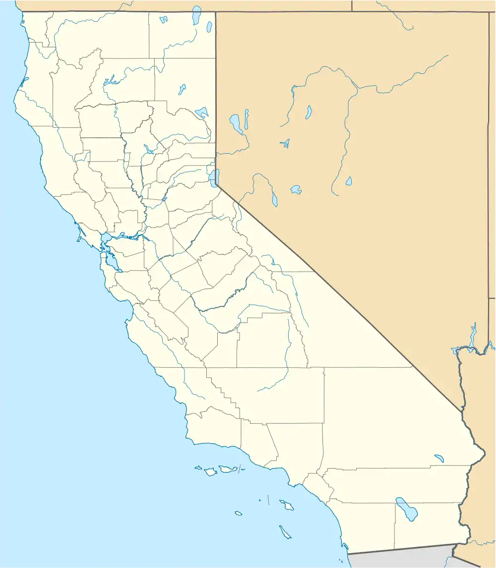 Dinsmore Location in California | |
| Coordinates: 40°29′30″N 123°36′25″W / 40.49167°N 123.60694°W | |
| Country | United States |
| State | California |
| County | Humboldt |
| Elevation | 2,415 ft (736 m) |
Dinsmore is an unincorporated community in California.[1] It is located on the Van Duzen River,[2] at an elevation of 2,415 feet (736 m).[1] Dinsmore Airport and the Dinsmore Store are located nearby. Also nearby is the Mad River, Ruth, California and Ruth Reservoir (located in Trinity County).
Climate
This region experiences warm (but not hot) and dry summers, with no average monthly temperatures above 71.6 °F. According to the Köppen Climate Classification system, Dinsmore has a warm-summer Mediterranean climate, abbreviated "Csb" on climate maps.[3]
References
- 1 2 3 "Dinsmore". Geographic Names Information System. United States Geological Survey, United States Department of the Interior.
- ↑ Durham, David L. (1998). California's Geographic Names: A Gazetteer of Historic and Modern Names of the State. Clovis, Calif.: Word Dancer Press. p. 50. ISBN 1-884995-14-4.
- ↑ Climate Summary for Dinsmore, California

This article is issued from Wikipedia. The text is licensed under Creative Commons - Attribution - Sharealike. Additional terms may apply for the media files.