Delareyville | |
|---|---|
 Delareyville, 2770, South Africa | |
 Delareyville 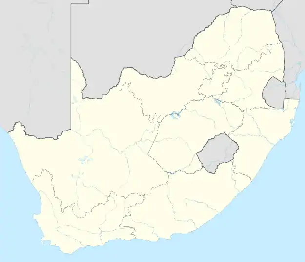 Delareyville  Delareyville | |
| Coordinates: 26°41′0″S 25°28′0″E / 26.68333°S 25.46667°E | |
| Country | South Africa |
| Province | North West |
| District | Ngaka Modiri Molema |
| Municipality | Tswaing |
| Area | |
| • Total | 36.53 km2 (14.10 sq mi) |
| Population (2011)[1] | |
| • Total | 10,630 |
| • Density | 290/km2 (750/sq mi) |
| Racial makeup (2011) | |
| • Black African | 88.2% |
| • Coloured | 2.0% |
| • Indian/Asian | 0.8% |
| • White | 8.3% |
| • Other | 0.7% |
| First languages (2011) | |
| • Tswana | 77.7% |
| • Afrikaans | 10.3% |
| • English | 5.1% |
| • Sotho | 2.3% |
| • Other | 4.6% |
| Time zone | UTC+2 (SAST) |
| Postal code (street) | 2770 |
| PO box | 2770 |
| Area code | 053 |
Delareyville is a maize- and peanut-farming town situated in North West Province of South Africa. The town is 96 km south-west of Lichtenburg, 82 km north-east of Vryburg, 114 km north-west of Wolmaransstad, and 61 km north of Schweizer-Reneke.
History
It was laid out in 1914[2]: 316 and declared a border industry area in 1968. It was named after Jacobus Herculaas (Koos) de la Rey (1847-1914), General of the Boer forces in the Anglo-Boer War.[3]
Economy
Agriculture
The area is known for the cultivation of maize, groundnuts, sorghum and sheep and cattle farming.[2]: 317
Mining
References
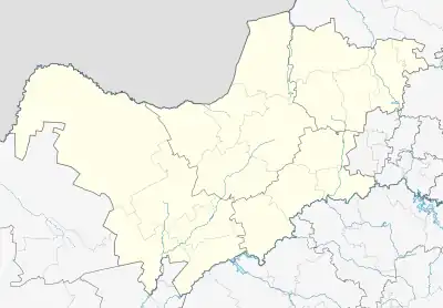
Municipalities and communities of Ngaka Modiri Molema District Municipality, North West | ||
|---|---|---|
District seat: Mahikeng | ||
| Ratlou | .svg.png.webp) Ngaka Modiri Molema District within South Africa | |
| Tswaing | ||
| Mahikeng | ||
| Ditsobotla | ||
| Ramotshere Moiloa | ||
This article is issued from Wikipedia. The text is licensed under Creative Commons - Attribution - Sharealike. Additional terms may apply for the media files.