Deer, Arkansas | |
|---|---|
 Deer, Arkansas  Deer, Arkansas | |
| Coordinates: 35°49′26″N 93°13′23″W / 35.82389°N 93.22306°W | |
| Country | United States |
| State | Arkansas |
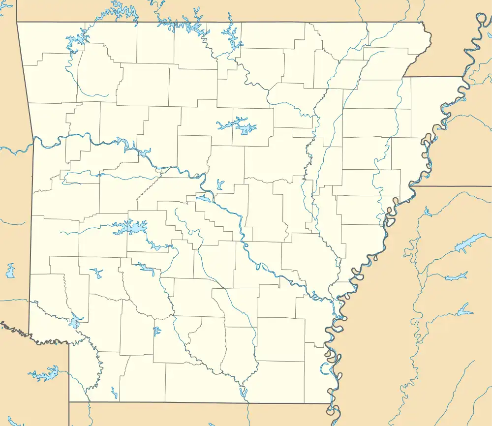
| County | Newton |
| Elevation | 2,028 ft (618 m) |
| Population (2020) | |
| • Total | 135 |
| Demonym(s) | Deerian, Deeronian |
| Time zone | UTC-6 (Central (CST)) |
| • Summer (DST) | UTC-5 (CDT) |
| ZIP code | 72628 |
| Area code | 870 |
| GNIS feature ID | 2805635[1] |
Deer is an unincorporated community and census-designated place (CDP) in Newton County, Arkansas, United States. Deer is located on Arkansas Highway 16, 12.5 miles (20.1 km) south of Jasper. Deer has a post office with ZIP code 72628.[2]
It was first listed as a CDP in the 2020 census with a population of 135.[3]
Education
Public education for elementary and secondary school students is provided by the Deer/Mount Judea School District, which includes:
- Deer Elementary School
- Deer High School
- Deer Community College of Agricultural Science
On July 1, 2004 the Deer School District consolidated with the Mount Judea School District to form the Deer/Mount Judea School District.[4]
Demographics
| Census | Pop. | Note | %± |
|---|---|---|---|
| 2020 | 135 | — | |
| U.S. Decennial Census[5] 2020[6] | |||
2020 census
| Race / Ethnicity | Pop 2020[6] | % 2020 |
|---|---|---|
| White alone (NH) | 131 | 97.04% |
| Black or African American alone (NH) | 0 | 0.00% |
| Native American or Alaska Native alone (NH) | 2 | 1.48% |
| Asian alone (NH) | 0 | 0.00% |
| Pacific Islander alone (NH) | 0 | 0.00% |
| Some Other Race alone (NH) | 0 | 0.00% |
| Mixed Race/Multi-Racial (NH) | 1 | 0.74% |
| Hispanic or Latino (any race) | 1 | 0.74% |
| Total | 135 | 100.00% |
Climate
Due to its altitude, Deer is perhaps the only populated place in the central USA with a humid continental climate (Cfa) that orders on a temperate highland climate (Cfb), with average highs and lows comparable to parts of Western Oregon or Lyon, France.
| Climate data for Deer, Arkansas (Elevation 2,375ft) | |||||||||||||
|---|---|---|---|---|---|---|---|---|---|---|---|---|---|
| Month | Jan | Feb | Mar | Apr | May | Jun | Jul | Aug | Sep | Oct | Nov | Dec | Year |
| Record high °F (°C) | 69 (21) |
78 (26) |
83 (28) |
88 (31) |
85 (29) |
92 (33) |
102 (39) |
106 (41) |
97 (36) |
86 (30) |
79 (26) |
70 (21) |
106 (41) |
| Average high °F (°C) | 41.3 (5.2) |
46.2 (7.9) |
55.5 (13.1) |
64.6 (18.1) |
70.7 (21.5) |
78.4 (25.8) |
83.1 (28.4) |
83.2 (28.4) |
75.6 (24.2) |
65.3 (18.5) |
54.5 (12.5) |
44.3 (6.8) |
63.6 (17.6) |
| Average low °F (°C) | 23.1 (−4.9) |
27.0 (−2.8) |
35.2 (1.8) |
44.5 (6.9) |
53.6 (12.0) |
62.3 (16.8) |
66.9 (19.4) |
66.1 (18.9) |
58.4 (14.7) |
47.3 (8.5) |
36.8 (2.7) |
26.6 (−3.0) |
45.7 (7.6) |
| Record low °F (°C) | −20 (−29) |
−10 (−23) |
1 (−17) |
16 (−9) |
31 (−1) |
44 (7) |
52 (11) |
45 (7) |
33 (1) |
15 (−9) |
4 (−16) |
−13 (−25) |
−20 (−29) |
| Average precipitation inches (mm) | 3.17 (81) |
3.70 (94) |
5.57 (141) |
5.23 (133) |
6.65 (169) |
4.58 (116) |
3.53 (90) |
3.55 (90) |
4.49 (114) |
4.51 (115) |
5.92 (150) |
4.33 (110) |
55.24 (1,403) |
| Average snowfall inches (cm) | 4.0 (10) |
4.2 (11) |
1.8 (4.6) |
0.3 (0.76) |
0 (0) |
0 (0) |
0 (0) |
0 (0) |
0 (0) |
0 (0) |
0.6 (1.5) |
1.7 (4.3) |
12.6 (32) |
| Source: The Western Regional Climate Center[7] | |||||||||||||
References
- 1 2 U.S. Geological Survey Geographic Names Information System: Deer, Arkansas
- ↑ ZIP Code Lookup
- ↑ "Deer CDP, Arkansas". United States Census Bureau. Retrieved April 7, 2022.
- ↑ "ConsolidationAnnex_from_1983.xls." Arkansas Department of Education. Retrieved on May 23, 2018.
- ↑ "Decennial Census of Population and Housing by Decades". US Census Bureau.
- 1 2 "P2 HISPANIC OR LATINO, AND NOT HISPANIC OR LATINO BY RACE – 2020: DEC Redistricting Data (PL 94-171) – Deer CDP, Arkansas". United States Census Bureau.
- ↑ "Seasonal Temperature and Precipitation Information". Western Regional Climate Center. Retrieved November 18, 2013.
External links
Municipalities and communities of Newton County, Arkansas, United States | ||
|---|---|---|
| City | 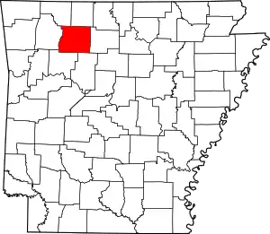 Map of Arkansas highlighting Newton County | |
| Town | ||
| Townships |
| |
| CDPs | ||
| Other unincorporated communities | ||