| Créquoise | |
|---|---|
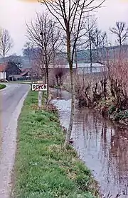 The Créquoise in Royon | |
  | |
| Location | |
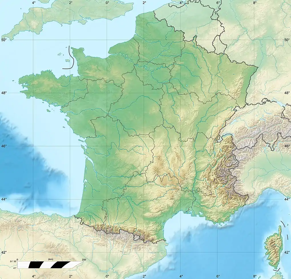
| Country | France |
| Physical characteristics | |
| Source | |
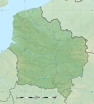
| • location | Pas-de-Calais |
| Mouth | |
• location | Canche |
• coordinates | 50°25′44″N 1°54′7″E / 50.42889°N 1.90194°E |
| Length | 15 km (9 mi) |
| Basin features | |
| Progression | Canche→ English Channel |
The river Créquoise (French pronunciation: [kʁekwaz]; Picard: Créquoése) is one of the small streams that flow from the plateau of the southern Boulonnais and Picardy, into the Canche. It is 14.8 km (9.2 mi) long.[1]
The river rises at Créquy and passes by Torcy, Royon, Lebiez, Hesmond, Offin, Loison-sur-Créquoise and joins the Canche at Beaurainville. Three small tributaries join the Créquoise, the Fosse du Corval, L'Embrienne and le Surgeon
See also
References
External links
- Carte Géologique de la France à l'échelle du millionième 6th edn. BRGM (2003) ISBN 2-7159-2158-6
- Carte des bassins versants de la Canche et de la Ternoise
- Informations sur les atlas des zones inondables
This article is issued from Wikipedia. The text is licensed under Creative Commons - Attribution - Sharealike. Additional terms may apply for the media files.