| Cockle Creek | |
|---|---|
_001.jpg.webp) | |
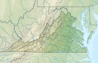 Location of mouth | |
| Location | |
| Country | United States |
| Physical characteristics | |
| Source | |
| • location | Chincoteague Inlet |
| • elevation | sea level |
| Mouth | |
• location | Chincoteague Bay |
• coordinates | 37°54′54″N 75°26′39″W / 37.914898°N 75.444144°W |
• elevation | sea level |
| Length | 3.5 miles (5.6 km) |
Cockle Creek is a 3.5-mile-long (5.6 km)[1] stream in Chincoteague, Virginia between Chincoteague Inlet to the south and Chincoteague Bay to the north.[2] It was the site of a naval battle during the American Civil War, the Battle of Cockle Creek.
See also
References
Wikimedia Commons has media related to Cockle Creek.
- ↑ U.S. Geological Survey. National Hydrography Dataset high-resolution flowline data. The National Map Archived 2016-06-30 at the Wayback Machine, accessed April 1, 2011
- ↑ GMCO Maps & Charts. GMCO's Fishing & Recreation Map of Chincoteague-Assateague, Virginia, 2003.
This article is issued from Wikipedia. The text is licensed under Creative Commons - Attribution - Sharealike. Additional terms may apply for the media files.