Chiselet | |
|---|---|
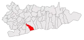 Location in Călărași County | |
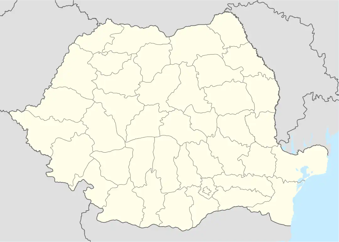 Chiselet Location in Romania | |
| Coordinates: 44°11′N 26°51′E / 44.183°N 26.850°E | |
| Country | Romania |
| County | Călărași |
| Area | 60.93 km2 (23.53 sq mi) |
| Population (2011-10-31)[1] | 3,392 |
| • Density | 56/km2 (140/sq mi) |
| Time zone | EET/EEST (UTC+2/+3) |
| Vehicle reg. | CL |
Chiselet is a commune in Călărași County, Muntenia, Romania. It is composed of a single village, Chiselet.
As of 2007 the population of Chiselet is 3,554.
A massive Neolithic tell called Măgura Fundeanca exists just a few kilometers south of the village center, towards the often flooded forest that borders the bank of the Danube.

References
This article is issued from Wikipedia. The text is licensed under Creative Commons - Attribution - Sharealike. Additional terms may apply for the media files.