Chemellier | |
|---|---|
Part of Brissac Loire Aubance | |
Location of Chemellier | |
 Chemellier 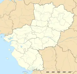 Chemellier | |
| Coordinates: 47°20′30″N 0°21′25″W / 47.3417°N 0.3569°W | |
| Country | France |
| Region | Pays de la Loire |
| Department | Maine-et-Loire |
| Arrondissement | Angers |
| Canton | Les Ponts-de-Cé |
| Commune | Brissac Loire Aubance |
| Area 1 | 10.99 km2 (4.24 sq mi) |
| Population (2019)[1] | 774 |
| • Density | 70/km2 (180/sq mi) |
| Demonym(s) | Chemellois, Chemelloise |
| Time zone | UTC+01:00 (CET) |
| • Summer (DST) | UTC+02:00 (CEST) |
| Postal code | 49320 |
| Elevation | 31–92 m (102–302 ft) (avg. 56 m or 184 ft) |
| 1 French Land Register data, which excludes lakes, ponds, glaciers > 1 km2 (0.386 sq mi or 247 acres) and river estuaries. | |
Chemellier (French pronunciation: [ʃəmlije] ⓘ) is a former commune in the Maine-et-Loire department of western France. On 15 December 2016, it was merged into the new commune Brissac Loire Aubance.[2] It is around 15 km south-east of Angers.
See also
References
- ↑ Téléchargement du fichier d'ensemble des populations légales en 2019, INSEE
- ↑ Arrêté préfectoral 6 September 2016 (in French)
Wikimedia Commons has media related to Chemellier.
This article is issued from Wikipedia. The text is licensed under Creative Commons - Attribution - Sharealike. Additional terms may apply for the media files.