Chatarpur | |
|---|---|
Block | |
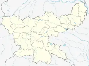 Chatarpur Location in jharkhand, India 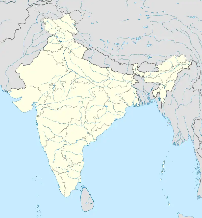 Chatarpur Chatarpur (India) | |
| Coordinates: 24°22′N 84°11′E / 24.37°N 84.19°E | |
| Country | |
| State | Jharkhand |
| District | Palamu |
| Block | Chatarpur |
| Government | |
| • MLA | Pushpa Devi Bharatiya Janata Party |
| Population (2001) | |
| • Total | 166,843 |
| Languages | |
| • Official | Magahi, Hindi |
| Time zone | UTC+5:30 (IST) |
| PIN | 822113 |
| Vehicle registration | JH |
| Website | http://palamu.nic.in/Chatarpur.html |
Chatarpur block is one of the administrative community development block of Palamu district, Jharkhand state, India. This is one of the important block/Taluka from jharkhand situated at National Highway 98 (India)(old numbering). According to census (2001), the block has 27,271 households with aggregate population of 166,843. The block has 240 villages.
See also
References
This article is issued from Wikipedia. The text is licensed under Creative Commons - Attribution - Sharealike. Additional terms may apply for the media files.