Center Point, Louisiana | |
|---|---|
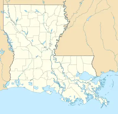 Center Point Location within the state of Louisiana | |
| Coordinates: 31°14′53″N 92°12′35″W / 31.24806°N 92.20972°W | |
| Country | United States |
| State | Louisiana |
| Parishes | Avoyelles |
| Area | |
| • Total | 4.73 sq mi (12.25 km2) |
| • Land | 4.73 sq mi (12.25 km2) |
| • Water | 0.00 sq mi (0.00 km2) |
| Elevation | 85 ft (26 m) |
| Population (2020) | |
| • Total | 520 |
| • Density | 109.94/sq mi (42.45/km2) |
| Time zone | UTC-6 (Central (CST)) |
| • Summer (DST) | UTC-5 (CST) |
| ZIP code | 71323 |
| FIPS code | 22-13855 |
Center Point is an unincorporated community and census-designated place in Avoyelles Parish, Louisiana, United States. As of the 2010 census, it had a population of 492.[2]
Center Point is located along Louisiana Highway 107, 13 miles (21 km) northwest of Marksville, the parish seat, and 16 miles (26 km) east of Alexandria.
Demographics
| Census | Pop. | Note | %± |
|---|---|---|---|
| 2020 | 520 | — | |
| U.S. Decennial Census[3] | |||
References
- ↑ "2020 U.S. Gazetteer Files". United States Census Bureau. Retrieved March 20, 2022.
- ↑ "Geographic Identifiers: 2010 Demographic Profile Data (G001): Center Point CDP, Louisiana". U.S. Census Bureau, American Factfinder. Archived from the original on February 12, 2020. Retrieved May 21, 2013.
- ↑ "Census of Population and Housing". Census.gov. Retrieved June 4, 2016.
Municipalities and communities of Avoyelles Parish, Louisiana, United States | ||
|---|---|---|
| Cities | 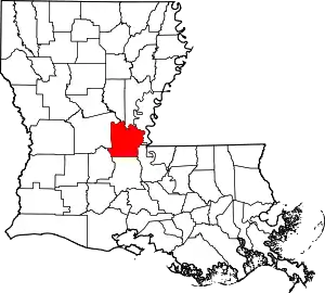 | |
| Towns | ||
| Villages | ||
| CDPs | ||
| Other communities | ||
| Indian reservation | ||
This article is issued from Wikipedia. The text is licensed under Creative Commons - Attribution - Sharealike. Additional terms may apply for the media files.