Burrville | |
|---|---|
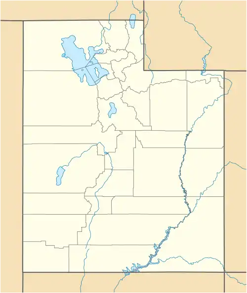 Burrville Location of Burrville in Utah  Burrville Burrville (the United States) | |
| Coordinates: 38°34′15″N 111°51′49″W / 38.57083°N 111.86361°W | |
| Country | United States |
| State | Utah |
| County | Sevier |
| Settled | 1876 |
| Founded by | Charles C. Burr |
| Elevation | 7,011 ft (2,137 m) |
| Time zone | UTC-7 (Mountain (MST)) |
| • Summer (DST) | UTC-6 (MDT) |
| ZIP code | 84701 |
| Area code | 435 |
| GNIS feature ID | 1439380[1] |
| Census | Pop. | Note | %± |
|---|---|---|---|
| 1880 | 203 | — | |
| 1890 | 226 | 11.3% | |
| 1900 | 244 | 8.0% | |
| 1910 | 98 | −59.8% | |
| 1920 | 89 | −9.2% | |
| 1930 | 63 | −29.2% | |
| 1940 | 47 | −25.4% | |
| 1950 | 35 | −25.5% | |
| Source: U.S. Census Bureau[2] | |||
Burrville is an unincorporated community in Sevier County, Utah, United States. It was founded in 1876 by a homesteader and rancher by the name of Charles C. Burr. It is located at Plateau Junction, the junction of SR-62 and SR-24, approximately 170 miles (270 km) south of Salt Lake City. Burrville's elevation is 7,011 feet (2,137 m).[1]
The area code is 435, and the ZIP code is 84701.[3]
See also
References
- 1 2 3 U.S. Geological Survey Geographic Names Information System: Burrville
- ↑ "Census of Population and Housing". U.S. Census Bureau. Archived from the original on February 8, 2006. Retrieved November 18, 2011.
- ↑ http://www.zipareacode.net/burrville-ut.htm
External links
![]() Media related to Burrville, Utah at Wikimedia Commons
Media related to Burrville, Utah at Wikimedia Commons
Municipalities and communities of Sevier County, Utah, United States | ||
|---|---|---|
| Cities | 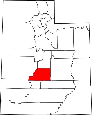 Map of Utah highlighting Sevier County | |
| Towns | ||
| Unincorporated communities | ||
| Ghost town | ||
| Indian reservation | ||
| Footnotes | ‡This populated place also has portions in an adjacent county or counties | |
This article is issued from Wikipedia. The text is licensed under Creative Commons - Attribution - Sharealike. Additional terms may apply for the media files.