Buinerveen | |
|---|---|
.jpg.webp) Drone photo of the solar plant at Buinerveen | |
 Buinerveen in the municipality of Borger-Odoorn. | |
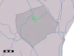
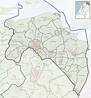 Buinerveen Location of the village in the province of Groningen 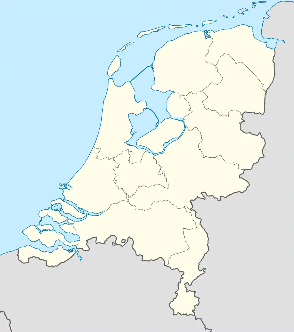 Buinerveen Buinerveen (Netherlands) | |
| Coordinates: 52°56′N 6°53′E / 52.933°N 6.883°E | |
| Country | Netherlands |
| Province | Drenthe |
| Municipality | Borger-Odoorn |
| Area | |
| • Total | 7.83 km2 (3.02 sq mi) |
| Elevation | 8 m (26 ft) |
| Population (2021)[1] | |
| • Total | 430 |
| • Density | 55/km2 (140/sq mi) |
| Time zone | UTC+1 (CET) |
| • Summer (DST) | UTC+2 (CEST) |
| Postal code | 9524[1] |
| Dialing code | 0599 |
Buinerveen is a village in the Dutch province of Drenthe. It is a part of the municipality of Borger-Odoorn, and lies about 18 km north of Emmen.
The village was first mentioned in 1762 as Bunerveen, and means "raised bog belonging to Buinen".[3] Buinerveen was a former peat colony. Later it developed into an agricultural community.[4]
Buinerveen was home to 205 people in 1840.[4]
References
- 1 2 3 "Kerncijfers wijken en buurten 2021". Central Bureau of Statistics. Retrieved 10 April 2022.
- ↑ "Postcodetool for 9524PA". Actueel Hoogtebestand Nederland (in Dutch). Het Waterschapshuis. Retrieved 10 April 2022.
- ↑ "Buinerveen - (geografische naam)". Etymologiebank (in Dutch). Retrieved 10 April 2022.
- 1 2 "Buinerveen". Plaatsengids (in Dutch). Retrieved 10 April 2022.
This article is issued from Wikipedia. The text is licensed under Creative Commons - Attribution - Sharealike. Additional terms may apply for the media files.