| Buckhorn State Park | |
|---|---|
IUCN category V (protected landscape/seascape) | |
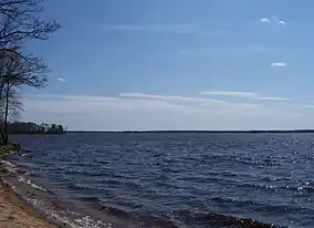 Wisconsin River in Buckhorn State Park | |
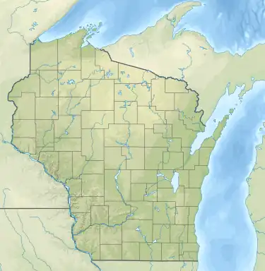  | |
| Location | Juneau County, Wisconsin, United States |
| Coordinates | 43°56′21″N 90°0′14″W / 43.93917°N 90.00389°W / 43.93917; -90.00389 |
| Area | 6,990 acres (28.3 km2) |
| Established | 1971 |
| Governing body | Wisconsin Department of Natural Resources |
Buckhorn State Park is a 6,990-acre (2,829 ha) Wisconsin state park southeast of Necedah. The park occupies a peninsula on Castle Rock Lake, a reservoir formed at the confluence of the Wisconsin and Yellow Rivers.[1]
Gallery
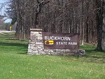 Sign
Sign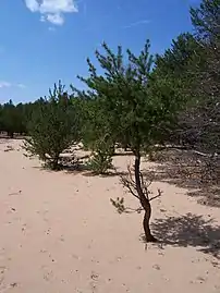 Sandy area
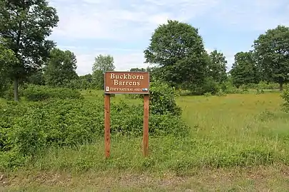 Buckhorn Barrens, a State Natural Area
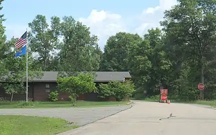 Office
References
- ↑ Adi (January 23, 2023). "Exploring Buckhorn State Park: A 2023 Guide (Hiking And Wildlife Included)". thewhistlingoak.com. Retrieved September 25, 2023.
External links
Wikimedia Commons has media related to Buckhorn State Park.
| Federal |
| ||||||||||||||||
|---|---|---|---|---|---|---|---|---|---|---|---|---|---|---|---|---|---|
| State |
| ||||||||||||||||
| Authority control databases: National |
|---|
This article is issued from Wikipedia. The text is licensed under Creative Commons - Attribution - Sharealike. Additional terms may apply for the media files.