Boleboř | |
|---|---|
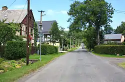 Main street | |
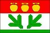 Flag 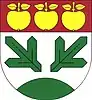 Coat of arms | |
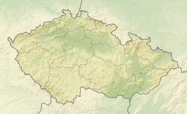 Boleboř Location in the Czech Republic | |
| Coordinates: 50°32′25″N 13°24′48″E / 50.54028°N 13.41333°E | |
| Country | |
| Region | Ústí nad Labem |
| District | Chomutov |
| First mentioned | 1352 |
| Area | |
| • Total | 20.08 km2 (7.75 sq mi) |
| Elevation | 620 m (2,030 ft) |
| Population (2023-01-01)[1] | |
| • Total | 333 |
| • Density | 17/km2 (43/sq mi) |
| Time zone | UTC+1 (CET) |
| • Summer (DST) | UTC+2 (CEST) |
| Postal code | 431 21 |
| Website | www |
Boleboř (German: Göttersdorf) is a municipality and village in Chomutov District in the Ústí nad Labem Region of the Czech Republic. It has about 300 inhabitants.
Boleboř lies approximately 8 kilometres (5 mi) north of Chomutov, 47 km (29 mi) west of Ústí nad Labem, and 88 km (55 mi) north-west of Prague.
Administrative parts
Villages of Orasín and Svahová are administrative parts of Blatno.
Gallery
 Church of Saint Nicholas
 The village of Orasín
References
Wikimedia Commons has media related to Boleboř.
This article is issued from Wikipedia. The text is licensed under Creative Commons - Attribution - Sharealike. Additional terms may apply for the media files.