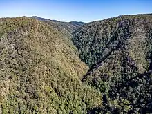
Upper Reaches of Bobin Creek looking West. Rowley's Peak is visible on the horizon to left of centre.
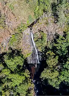
Deep Gorge Falls, Bobin Creek. 31°39'25"S 152°12'54"E. The many waterfalls make walking the upper reaches of Bobin Creek challenging.
| Bobin Creek | |
|---|---|
 Location of mouth | |
| Location | |
| Country | Australia |
| State | New South Wales |
| Region | NSW North Coast (IBRA), Mid North Coast |
| Municipality | Mid-Coast Council |
| Physical characteristics | |
| Source | Rowleys Peak, Great Dividing Range |
| • location | Tapin Tops National Park |
| Mouth | confluence with the Dingo Creek |
• location | northwest of Wingham |
| Length | 24 km (15 mi) |
| Basin features | |
| River system | Manning River catchment |
| National park | Tapin Tops NP |
| [1] | |
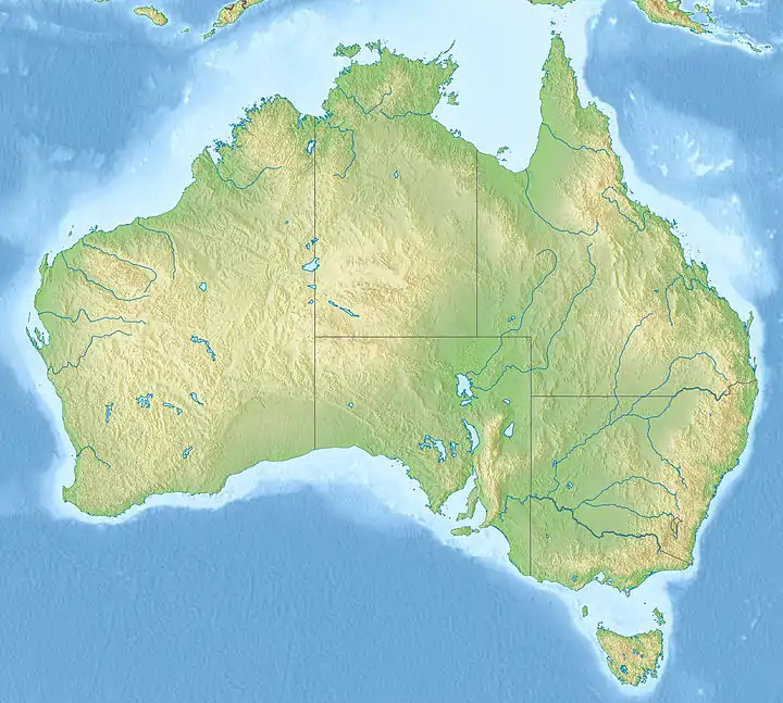
Bobin Creek, a non–perennial stream of the Manning River catchment, is located in the Mid North Coast region of New South Wales, Australia.
Course and features
Bobin Creek rises below Rowleys Peak on the eastern slopes of the Great Dividing Range in remote country within Tapin Tops National Park, northwest of the town of Wingham. The river flows generally southeast before reaching its confluence with the Dingo Creek, northwest of Wingham, over its 24 kilometres (15 mi) course.[1]
See also
References
- 1 2 "Bobin Creek". Geographical Names Register (GNR) of NSW. Geographical Names Board of New South Wales. Retrieved 15 October 2013.
External links
- "Manning River catchments" (map). Office of Environment and Heritage. Government of New South Wales.
- "Bobin Creek, a permanent watercourse running through the Oxygen Farm" (photo). The Oxygen Farm Inc.
River systems and rivers of Hunter-Central Rivers catchment, New South Wales, Australia | |
|---|---|
| Manning River | |
| Great Lakes | |
| Hunter Valley and Hunter River | |
| |
31°42′S 152°16′E / 31.700°S 152.267°E
This article is issued from Wikipedia. The text is licensed under Creative Commons - Attribution - Sharealike. Additional terms may apply for the media files.