| Black River | |
|---|---|
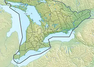 Location of the mouth of the Black River in southern Ontario | |
| Location | |
| Country | Canada |
| Province | Ontario |
| Region | Central Ontario |
| County | Simcoe |
| Municipality | Severn |
| Physical characteristics | |
| Source | Long Lake |
| • elevation | 221 m (725 ft) |
| Mouth | Gloucester Pool on the Severn River |
• coordinates | 44°50′42″N 79°42′35″W / 44.84500°N 79.70972°W |
• elevation | 180 m (590 ft) |
| Basin features | |
| River system | Great Lakes Basin |
The Black River is a river in Simcoe County in Central Ontario, Canada.[1] It is part of the Great Lakes Basin, and is a left tributary of the Severn River.
Course
The river begins at Long Lake in geographic Matchedash Township,[2] and flows to its mouth at Gloucester Pool on the Severn River. The Severn River flows to the Georgian Bay on Lake Huron.
See also
References
- ↑ "Black River". Geographical Names Data Base. Natural Resources Canada. Retrieved 2014-06-24.
- ↑ "Matchedash" (PDF). Geology Ontario - Historic Claim Maps. Ontario Ministry of Northern Development, Mines and Forestry. Archived from the original (PDF) on 2016-03-04. Retrieved 2014-06-24.
Other map sources:
- Map 5 (PDF) (Map). 1 : 700,000. Official road map of Ontario. Ministry of Transportation of Ontario. 2014. Retrieved 2014-06-24.
- Restructured municipalities - Ontario map #4 (Map). Restructuring Maps of Ontario. Ontario Ministry of Municipal Affairs and Housing. 2006. Archived from the original on 2014-04-10. Retrieved 2014-06-24.
This article is issued from Wikipedia. The text is licensed under Creative Commons - Attribution - Sharealike. Additional terms may apply for the media files.