Bieringen | |
|---|---|
Part of Rottenburg am Neckar | |
 Coat of arms | |
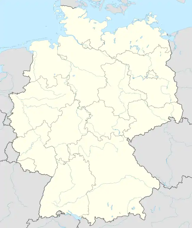
Location of Bieringen (Rottenburg) | |
 Bieringen 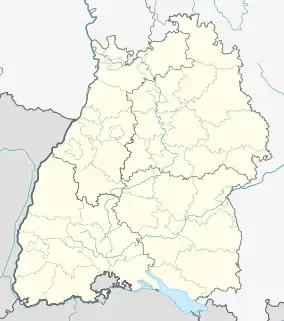 Bieringen | |
| Coordinates: 48°27′06″N 08°51′22″E / 48.45167°N 8.85611°E | |
| Country | Germany |
| State | Baden-Württemberg |
| Admin. region | Tübingen |
| District | Tübingen |
| Town | Rottenburg am Neckar |
| Government | |
| • Local representative | Walter Dettling |
| Area | |
| • Total | 6.86 km2 (2.65 sq mi) |
| Highest elevation | 507 m (1,663 ft) |
| Lowest elevation | 322 m (1,056 ft) |
| Population (2018)[1] | |
| • Total | 667 |
| • Density | 97/km2 (250/sq mi) |
| Time zone | UTC+01:00 (CET) |
| • Summer (DST) | UTC+02:00 (CEST) |
| Postal codes | 72108 |
| Dialling codes | (+49) 07472 |
| Vehicle registration | TÜ |
| Website | www.rottenburg.de |
Bieringen is a suburban district of Rottenburg am Neckar in the administrative district of Tübingen in Baden-Württemberg, Germany.
Geography
Bieringen is located 9 km (5.59 mi) southwestern from Rottenburg am Neckar in the Neckar valley.
Extent
The territory of the district is 689 hectares. Thereof fall 52.9% upon agriculturally used area, 37.2% upon forest area, 7.5% upon settlement area and roads, 1.2% upon water area and 0.6% upon other.
Population
Bieringen has a population of 689 people (31/01/08). It is one of the smaller villages that belong to Rottenburg. At an area of 6.86 km² (2.6 sq mi) this corresponds to a population density of 101 people per km², or 261 per sq mi.
Faiths
The population of the village is predominantly Roman Catholic.
References
- ↑ "Bieringen - Daten". Stadtverwaltung Rottenburg. Retrieved 24 September 2021.
External links
Suburban districts of Rottenburg am Neckar | ||
|---|---|---|
Coat of arms of Rottenburg am Neckar | ||
This article is issued from Wikipedia. The text is licensed under Creative Commons - Attribution - Sharealike. Additional terms may apply for the media files.