Bercenay-le-Hayer | |
|---|---|
.JPG.webp) The church in Bercenay-le-Hayer | |
Location of Bercenay-le-Hayer | |
 Bercenay-le-Hayer 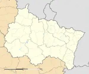 Bercenay-le-Hayer | |
| Coordinates: 48°20′38″N 3°35′44″E / 48.3439°N 3.5956°E | |
| Country | France |
| Region | Grand Est |
| Department | Aube |
| Arrondissement | Nogent-sur-Seine |
| Canton | Saint-Lyé |
| Intercommunality | Orvin et Ardusson |
| Government | |
| • Mayor (2020–2026) | Jacques Lavillette[1] |
| Area 1 | 14.63 km2 (5.65 sq mi) |
| Population | 197 |
| • Density | 13/km2 (35/sq mi) |
| Time zone | UTC+01:00 (CET) |
| • Summer (DST) | UTC+02:00 (CEST) |
| INSEE/Postal code | 10038 /10290 |
| 1 French Land Register data, which excludes lakes, ponds, glaciers > 1 km2 (0.386 sq mi or 247 acres) and river estuaries. | |
Bercenay-le-Hayer is a commune in the Aube department in north-central France.
Population
| Year | Pop. | ±% |
|---|---|---|
| 1999 | 135 | — |
| 2008 | 137 | +1.5% |
See also
References
- ↑ "Répertoire national des élus: les maires". data.gouv.fr, Plateforme ouverte des données publiques françaises (in French). 9 August 2021.
- ↑ "Populations légales 2020". The National Institute of Statistics and Economic Studies. 29 December 2022.
Wikimedia Commons has media related to Bercenay-le-Hayer.
This article is issued from Wikipedia. The text is licensed under Creative Commons - Attribution - Sharealike. Additional terms may apply for the media files.