Ber | |
|---|---|
Commune and village | |
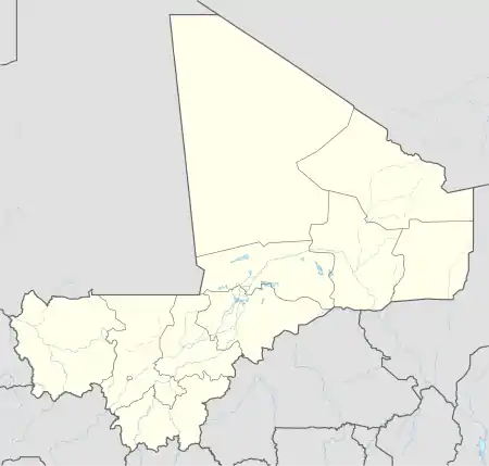 Ber Location in Mali | |
| Coordinates: 16°50′24″N 2°31′29″W / 16.84000°N 2.52472°W | |
| Country | |
| Region | Tombouctou Region |
| Cercle | Timbuktu Cercle |
| Area | |
| • Total | 35,280 km2 (13,620 sq mi) |
| Population (2009)[1] | |
| • Total | 9,536 |
| Time zone | UTC+0 (GMT) |
Ber is a village and commune of the Cercle of Timbuktu in the Tombouctou Region of Mali. The village lies 8 km north of the Niger River and 53 km east of Timbuktu. In the 2009 census the commune had a population of 9,128.[1] The commune is mainly sand dunes and extends for 35,280 km2.[2]
References
- 1 2 Resultats Provisoires RGPH 2009 (Région de Tombouctou) (PDF), République de Mali: Institut National de la Statistique, archived from the original (PDF) on 2011-07-22
- ↑ Schéma Directeur de Lutte Contre l’Ensablement dans le Nord du Mali (6ème et 7ème Régions): Monographie de la Commune de Ber (PDF) (in French), Ministère de l’Environnement et de l’Assainissement, République du Mali, 2004, archived from the original (PDF) on 2013-12-19
External links
Capital: Timbuktu | ||
| Diré Cercle | 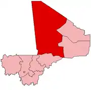 | |
| Goundam Cercle |
| |
| Gourma-Rharous Cercle | ||
| Niafunké Cercle | ||
| Timbuktu Cercle |
| |
This article is issued from Wikipedia. The text is licensed under Creative Commons - Attribution - Sharealike. Additional terms may apply for the media files.