Ben Gardane Delegation
معتمدية بنقردان | |
|---|---|
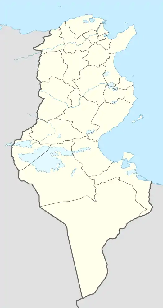 Ben Gardane Delegation Location in Tunisia | |
| Coordinates: 33°8′20″N 11°13′0″E / 33.13889°N 11.21667°E | |
| Country | Tunisia |
| Created | June 21, 1956[1] |
| Capital | Ben Gardane City |
| Area | |
| • Total | 4,732 km2 (1,827 sq mi) |
| Population (2014) | |
| • Total | 79,912 |
| • Density | 17/km2 (44/sq mi) |
| Time zone | UTC+1 (CET) |
| • Summer (DST) | UTC+2 (CEST) |
| Postal prefix | 4160 |
Ben Gardane Delegation (معتمدية بنقردان, Mutamadiyat Bin Guirdan; French: Ben Gardane délégation) is a delegation (county) of the Medenine Governorate in Southeastern Tunisia. As of 2014 census it had a population of 79,912, close to the border with Libya. It is located at around 33°8′20″N 11°13′0″E / 33.13889°N 11.21667°E.
There has one town (municipality) in the Ben Gardane Delegation, Ben Gardane city.
Geography
The Delegation encompasses the south-easternmost coastal strip, totalling 4732 km² and had a population of 79,912 at the 2014 census.[1][2] The capital is Ben Gardane city.
Administrative divisions
The Delegation is divided into twelve imadas (with their populations at the 2014 Census):
| Imadat | Population (2014) | area |
|---|---|---|
| Ben Gardane Nord | 6,708 | 8 km² |
| Ben Gardane Sud | 7,160 | 7 km² |
| Essayah | 8,312 | 170 km² |
| Jamila | 6,173 | 155 km² |
| El Moamarat | 7,038 | 482 km² |
| El Amria | 9,970 | 1600 km² |
| Ettabaï | 6,886 | 1078 km² |
| Jallel | 11,739 | 98 km² |
| Ouersnia | 8,421 | 137 km² |
| Chareb Errajel | 4,108 | 135 km² |
| Neffatia | 996 | 375 km² |
| Chahbania | 2,401 | 487 km² |
| Total | 79,912 | 4732,0 km² |
References
- 1 2 (in French) "tunisieindustrie.nat.tn". Archived from the original on February 17, 2009.
- ↑ (in French) Census 2014 (National Institute of Statistics) Archived October 29, 2014, at the Wayback Machine
This article is issued from Wikipedia. The text is licensed under Creative Commons - Attribution - Sharealike. Additional terms may apply for the media files.