| Bear Creek Tributary to Deep River | |
|---|---|
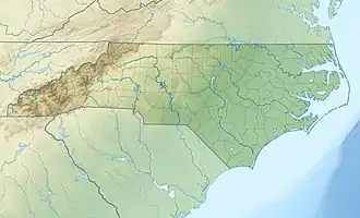 Location of Bear Creek mouth 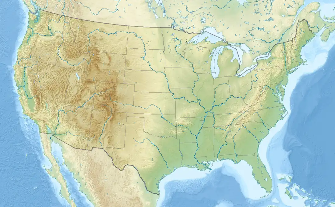 Bear Creek (Deep River tributary) (the United States) | |
| Location | |
| Country | United States |
| State | North Carolina |
| County | Moore Randolph |
| Physical characteristics | |
| Source | Asheworth Branch divide |
| • location | Pond in Seagrove, North Carolina |
| • coordinates | 35°32′07″N 079°46′04″W / 35.53528°N 79.76778°W[1] |
| • elevation | 700 ft (210 m)[2] |
| Mouth | Deep River |
• location | about 1 mile west of High Falls, North Carolina |
• coordinates | 35°28′47″N 079°33′16″W / 35.47972°N 79.55444°W[1] |
• elevation | 298 ft (91 m)[2] |
| Length | 21.78 mi (35.05 km)[3] |
| Basin size | 145.43 square miles (376.7 km2)[4] |
| Discharge | |
| • location | Deep River |
| • average | 155.13 cu ft/s (4.393 m3/s) at mouth with Deep River[4] |
| Basin features | |
| Progression | Deep River → Cape Fear River → Atlantic Ocean |
| River system | Deep River |
| Tributaries | |
| • left | unnamed tributaries |
| • right | West Branch, Williams Creek, Wolf Creek, Cabin Creek |
| Bridges | Boone Street, NC 705, US 220, Upper Branch, Adams Road, Chrisco Road W, Dover Church Road, Dan Road, Browns Mill Road, NC 705, Reynolds Mill Road |
Bear Creek is a 21.78 mi (35.05 km) long 4th order tributary to the Deep River in Moore and Randolph Counties, North Carolina.
Course
Bear Creek rises in a pond in Seagrove, North Carolina in Randolph County and then flows southeast into Moore County and then turns northeast at Robbins, North Carolina to join the Deep River about 1 mile west of High Falls, North Carolina.[2]
Watershed
Bear Creek drains 145.43 square miles (376.7 km2) of area, receives about 47.8 in/year of precipitation, and has a wetness index of 405.73 and is about 58% forested.[4]
See also
References
- 1 2 "GNIS Detail - Bear Creek". geonames.usgs.gov. US Geological Survey. Retrieved 26 August 2020.
- 1 2 3 "Bear Creek Topo Map in Moore". TopoZone. Locality, LLC. Retrieved 25 August 2020.
- ↑ "ArcGIS Web Application". epa.maps.arcgis.com. US EPA. Retrieved 25 August 2020.
- 1 2 3 "Bear Creek Watershed Report". US EPA Geoviewer. US EPA. Retrieved 26 August 2020.
This article is issued from Wikipedia. The text is licensed under Creative Commons - Attribution - Sharealike. Additional terms may apply for the media files.