Bazoft District
Persian: بخش بازفت | |
|---|---|
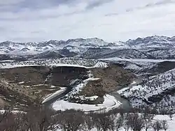 View of Bazoft River with the Zardkuh mountain range in the background | |
 Bazoft District | |
| Coordinates: 32°23′19″N 49°52′18″E / 32.38861°N 49.87167°E[1] | |
| Country | |
| Province | Chaharmahal and Bakhtiari |
| County | Kuhrang |
| Elevation | 1,520 m (4,990 ft) |
| Population (2016)[2] | |
| • Total | 14,742 |
| Time zone | UTC+3:30 (IRST) |
| Area code | +(98) 383 |
| Bazoft District can be found at GEOnet Names Server, at this link, by opening the Advanced Search box, entering "10908563" in the "Unique Feature Id" form, and clicking on "Search Database". | |
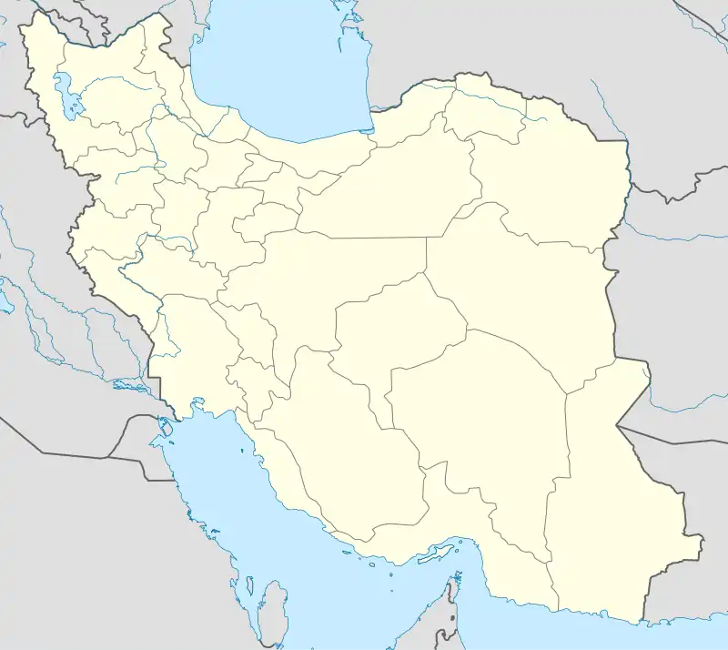
Bazoft District (Persian: بخش بازفت) is in Kuhrang County, Chaharmahal and Bakhtiari province, Iran.
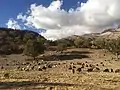
At the 2006 census, its population was 14,270 in 2,459 households.[3] The following census in 2011 counted 12,185 people in 2,459 households,[4] by which time Doab Rural District had been separated from the district in the establishment of Doab Samsami District. At the latest census in 2016, the district had 14,742 inhabitants living in 3,478 households.[2] The population is mainly composed of Bakhtiari Lors from the Haft Lang tribes.
Geography
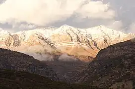
In the heart of the Zagros mountains, in the foothills of the Zardkuh mountain range, the Bazoft district is located about 180km west of Shahrekord and 200km east of Masjed Soleyman on the Shahrekord-Masjed Soleyman road. The Bazoft river, located near the Zardkuh mountains, is one of the main affluents of the Karun river.
| Administrative Divisions | 2006[3] | 2011[4] | 2016[2] |
|---|---|---|---|
| Bazoft RD | 8,526 | ||
| Bazoft-e Bala RD | 3,305 | 4,144 | |
| Bazoft-e Pain RD | 8,880 | 9,079 | |
| Doab RD1 | 5,744 | ||
| Bazoft (city) | 1,519 | ||
| Total | 14,270 | 12,185 | 14,742 |
| RD: Rural District 1Became a part of Doab Samsami District | |||
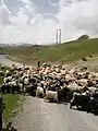
Gallery


References
- ↑ OpenStreetMap contributors (2 April 2023). "Bazoft District (Kuhrang County)" (Map). OpenStreetMap. Retrieved 2 April 2023.
- 1 2 3 "Census of the Islamic Republic of Iran, 1395 (2016)". AMAR (in Persian). The Statistical Center of Iran. p. 14. Archived from the original (Excel) on 24 May 2019. Retrieved 19 December 2022.
- 1 2 "Census of the Islamic Republic of Iran, 1385 (2006)". AMAR (in Persian). The Statistical Center of Iran. p. 14. Archived from the original (Excel) on 20 September 2011. Retrieved 25 September 2022.
- 1 2 "Census of the Islamic Republic of Iran, 1390 (2011)" (Excel). Iran Data Portal (in Persian). The Statistical Center of Iran. p. 14. Retrieved 19 December 2022.
| Capital | 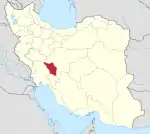 | ||||||||||||||||||||||
|---|---|---|---|---|---|---|---|---|---|---|---|---|---|---|---|---|---|---|---|---|---|---|---|
| Counties and cities |
| ||||||||||||||||||||||
| Landmarks |
| ||||||||||||||||||||||
| populated places | |||||||||||||||||||||||