Bagnara di Romagna | |
|---|---|
| Comune di Bagnara di Romagna | |
 | |
Location of Bagnara di Romagna | |
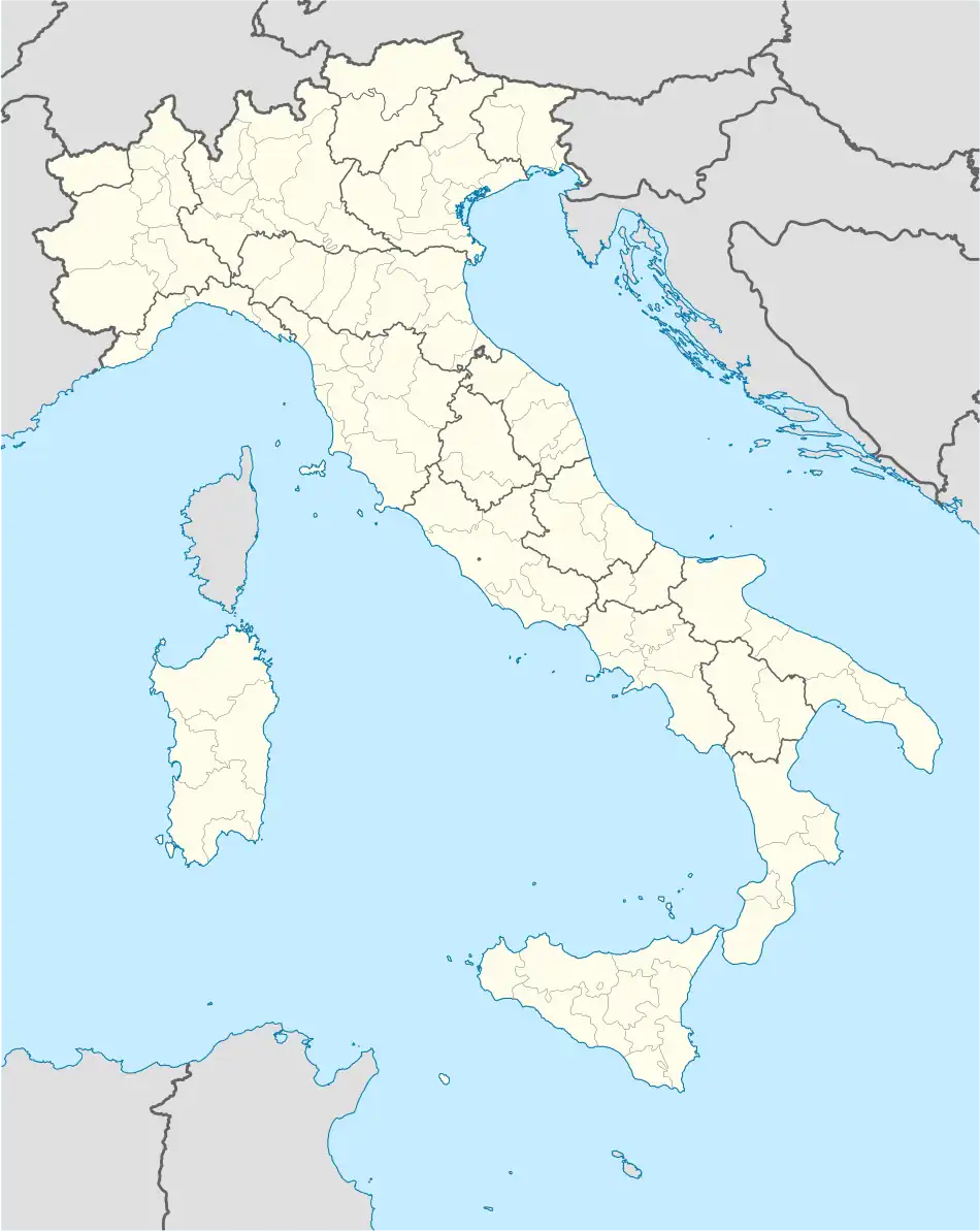 Bagnara di Romagna Location of Bagnara di Romagna in Italy 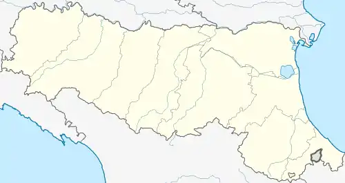 Bagnara di Romagna Bagnara di Romagna (Emilia-Romagna) | |
| Coordinates: 44°23′N 11°50′E / 44.383°N 11.833°E | |
| Country | Italy |
| Region | Emilia-Romagna |
| Province | Ravenna (RA) |
| Frazioni | S. Filippo |
| Government | |
| • Mayor | Riccardo Francone |
| Area | |
| • Total | 9.96 km2 (3.85 sq mi) |
| Elevation | 22 m (72 ft) |
| Population | |
| • Total | 2,423 |
| • Density | 240/km2 (630/sq mi) |
| Demonym | Bagnaresi |
| Time zone | UTC+1 (CET) |
| • Summer (DST) | UTC+2 (CEST) |
| Postal code | 48031 |
| Dialing code | 0545 |
| Patron saint | St. Andrew |
| Saint day | 30 November |
| Website | Official website |
Bagnara di Romagna (Romagnol: Bagnêra) is a comune (municipality) in the Province of Ravenna in the Italian region Emilia-Romagna, located about 40 km (25 mi) southeast of Bologna and about 30 km (19 mi) west of Ravenna.
Bagnara di Romagna borders the following municipalities: Cotignola, Imola, Lugo, Mordano, Solarolo. It is a member of the I Borghi più belli d'Italia ("The most beautiful villages of Italy") association.[4]
Twin towns
Bagnara di Romagna is twinned with:
 Adelmannsfelden, Germany, since 2007
 Saint-Drézéry, France, since 2009
References
- ↑ "Superficie di Comuni Province e Regioni italiane al 9 ottobre 2011". Italian National Institute of Statistics. Retrieved 16 March 2019.
- ↑ All demographics and other statistics: Italian statistical institute Istat.
- ↑ "Popolazione Residente al 1° Gennaio 2018". Italian National Institute of Statistics. Retrieved 16 March 2019.
- ↑ "Emilia Romagna" (in Italian). Retrieved 31 July 2023.
External links
Wikivoyage has a travel guide for Bagnara di Romagna.
 | ||
This article is issued from Wikipedia. The text is licensed under Creative Commons - Attribution - Sharealike. Additional terms may apply for the media files.