Baarlo | |
|---|---|
 | |
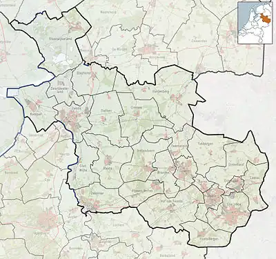 Baarlo Location in the Netherlands 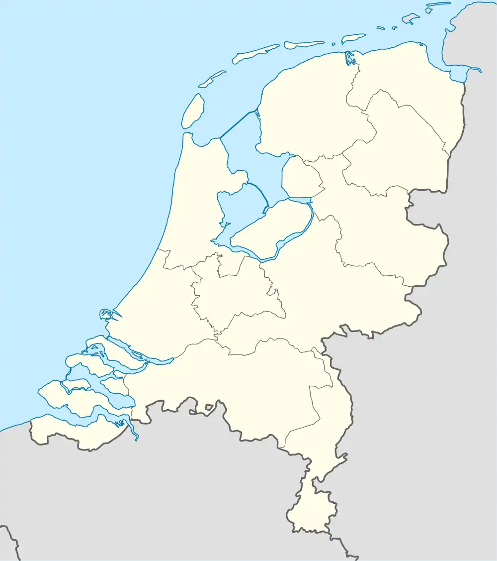 Baarlo Baarlo (Netherlands) | |
| Coordinates: 52°44′18″N 5°57′0″E / 52.73833°N 5.95000°E | |
| Country | Netherlands |
| Province | Overijssel |
| Municipality | Steenwijkerland |
| Area | |
| • Total | 3.95 km2 (1.53 sq mi) |
| Elevation | 0 m (0 ft) |
| Population (2021)[1] | |
| • Total | 45 |
| • Density | 11/km2 (30/sq mi) |
| Time zone | UTC+1 (CET) |
| • Summer (DST) | UTC+2 (CEST) |
| Postal code | 8372[1] |
| Dialing code | 0527 |
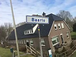
Baarlo is a hamlet in the Dutch province of Overijssel. It is located in the municipality Steenwijkerland, about 1 km northwest of the city of Blokzijl.
It was first mentioned in 1219 as Barlo, and means "barren forest".[3] During the Middle Ages, it used to have a chapel, however it was damaged in a 1825 flood, and demolished in 1836.[4] Until the Noordoostpolder was reclaimed, the village lay on the dyke of the IJsselmeer. In 1840, it was home to 145 people.[4]
Baarlo should not be confused with the village with the same name in the municipality of Zwartewaterland, about 15 km to the southeast.
References
- 1 2 3 "Kerncijfers wijken en buurten 2021". Central Bureau of Statistics. Retrieved 16 March 2022.
two entries
- ↑ "Postcodetool for 8372VH". Actueel Hoogtebestand Nederland (in Dutch). Het Waterschapshuis. Retrieved 16 March 2022.
- ↑ "Baarlo - (geografische naam)". Etymologiebank (in Dutch). Retrieved 16 March 2022.
- 1 2 "Baarlo (Steenwijkerland)". Plaatsengids (in Dutch). Retrieved 16 March 2022.
Wikimedia Commons has media related to Baarlo (Steenwijkerland).
This article is issued from Wikipedia. The text is licensed under Creative Commons - Attribution - Sharealike. Additional terms may apply for the media files.