Ashfield
| |
|---|---|
 The Square, Ashfield | |
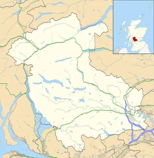 Ashfield Location within the Stirling council area | |
| Population | 139 [1] |
| OS grid reference | NN784037 |
| Civil parish | |
| Council area | |
| Lieutenancy area | |
| Country | Scotland |
| Sovereign state | United Kingdom |
| Post town | Dunblane |
| Postcode district | FK15 |
| Dialling code | 01786 |
| Police | Scotland |
| Fire | Scottish |
| Ambulance | Scottish |
| UK Parliament | |
| Scottish Parliament | |
Ashfield (Scottish Gaelic: Achadh an Uinnsinn) is a small village in the Registration county of Perth and the local government district of Stirling, Scotland. It lies between the Allan Water and the Stirling-Perth Railway line. It is two miles north of Dunblane,[2] and was designated a conservation village in 1976. It was originally built to house workers at a nearby silk-dyeing mill.[3][4] Prior to this, a mill, Millash or Mill of Ash, existed, as did an extensive house or farm.[5] Ashfield has four residential streets (Ochilview, Allanview, The Steading and The Cottages), a residential block (The Clachan) and also a square, named after the former prime minister William Gladstone, called Gladstone Square.
There are various annual activities based in the village hall such as a Blues festival, a Food festival and a Music festival.
References
- ↑ The Gazetteer for Scotland, Ashfield, http://www.geo.ed.ac.uk/scotgaz/towns/towndetails504.html
- ↑ The Gazetteer for Scotland, Ashfield, http://www.scottish-places.info/towns/townfirst504.html
- ↑ Alexander B Barty, (1944), The History of Dunblane, P248
- ↑ Canmore, Ashfield Print Works:Worker's Housing, http://canmore.rcahms.gov.uk/en/site/167284/details/ashfield+print+works+workers+housing/
- ↑ "Archived copy" (PDF). Archived from the original (PDF) on 20 October 2013. Retrieved 11 September 2013.
{{cite web}}: CS1 maint: archived copy as title (link)