Apenburg | |
|---|---|
 Coat of arms | |
Location of Apenburg | |
 Apenburg 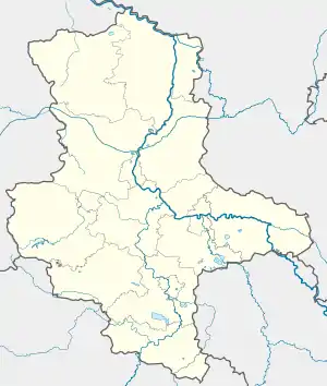 Apenburg | |
| Coordinates: 52°42′50″N 11°12′20″E / 52.7138°N 11.2056°E | |
| Country | Germany |
| State | Saxony-Anhalt |
| District | Altmarkkreis Salzwedel |
| Town | Apenburg-Winterfeld |
| Area | |
| • Total | 19.64 km2 (7.58 sq mi) |
| Elevation | 34 m (112 ft) |
| Population (2006-12-31) | |
| • Total | 881 |
| • Density | 45/km2 (120/sq mi) |
| Time zone | UTC+01:00 (CET) |
| • Summer (DST) | UTC+02:00 (CEST) |
| Postal codes | 38486 |
| Dialling codes | 039001 |
| Vehicle registration | SAW |
| Website | www.apenburg.de |
Apenburg is a village and a former municipality in the district Altmarkkreis Salzwedel, in Saxony-Anhalt, Germany. Since 1 July 2009, it is part of the municipality Apenburg-Winterfeld.
History
Apenburg became a town during the Middle Ages.[1] Following World War II, it became part of East Germany.
Footnotes
This article is issued from Wikipedia. The text is licensed under Creative Commons - Attribution - Sharealike. Additional terms may apply for the media files.