| Alto del Buitre | |
|---|---|
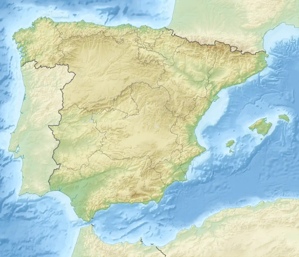 Alto del Buitre Spain | |
| Highest point | |
| Elevation | 1,146 m (3,760 ft) |
| Listing | List of mountains in the Valencian Community |
| Coordinates | 38°59′18″N 0°56′15″W / 38.98831991980°N 0.93738933584°W |
| Geography | |
| Location | Cofrentes Valley (Valencian Community) |
| Parent range | Sierra Palomera, Sistema Ibérico |
| Climbing | |
| First ascent | Unknown |
| Easiest route | From Ayora |
Alto del Buitre is a mountain of the Sierra Palomera range, Valencian Community, Spain. It reaches an elevation of 1,146.25 metres (3,760.7 ft) above sea level. There is a triangulation station at the top marked "5195".[1]
It is located within the Ayora municipal term, rising 15 km SE of the town. The summit offers a good view of the surrounding landscape and is popular with hikers.[2]
There were fierce combats in the area of the Alto del Buitre in 1938 during the Levante Offensive of the Spanish Civil War.[3]
There are mountains named "Alto del Buitre" in Colombia and in Chile as well. The name means "High Place of the Vulture" in Spanish.
See also
References
- ↑ "ICV - Alto del Buitre" (PDF). Archived from the original (PDF) on 2013-07-11. Retrieved 2017-10-03.
- ↑ Wikiloc - ruta Ayora-Rio Fraile-Sima Quesa-Alto del Buitre-Ayora
- ↑ SBHAC - 215ª Brigada Mixta
External links
This article is issued from Wikipedia. The text is licensed under Creative Commons - Attribution - Sharealike. Additional terms may apply for the media files.