Aldealafuente | |
|---|---|
 | |
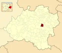 Municipal location in the Province of Soria. | |
 Aldealafuente Location in Spain 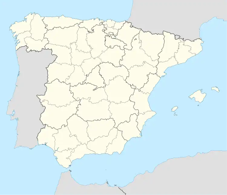 Aldealafuente Aldealafuente (Spain) | |
| Coordinates: 41°40′17″N 2°19′30″W / 41.67139°N 2.32500°W | |
| Country | |
| Autonomous community | |
| Province | |
| Comarca | Campo de Gomara |
| Government | |
| • Alcalde | Miguel Angel Silverio Lazaro (2019–2023) (PSOE) |
| Area | |
| • Total | 45.72 km2 (17.65 sq mi) |
| Elevation | 1,009 m (3,310 ft) |
| Population (2018)[1] | |
| • Total | 87 |
| • Density | 1.95/km2 (5.1/sq mi) |
| Time zone | UTC+1 (CET) |
| • Summer (DST) | UTC+2 (CEST) |
| Postal code | 42134 |
| Website | aldealafuente.es |
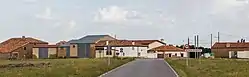
Aldealafuente is a municipality located in the province of Soria, Castile and León, Spain. According to the 2004 census (INE), the municipality has a population of 129 inhabitants.
History
The place during the Middle Ages belonged to the Comunidad de Villa y Tierra de Soria, which formed part of Sexmo de Lubia.[2]
Settlements
| Settlement | Population (2000) | Population (2010)[3] |
|---|---|---|
| Aldealafuente | 93 | 79 |
| Ribarroya | 38 | 22 |
| Tapiela | 22 | 12 |
References
- ↑ Municipal Register of Spain 2018. National Statistics Institute.
- ↑ "Historia de la Mancomunidad" (in Spanish). man150.dipsoria.es. Retrieved April 6, 2020.
- ↑ "Nomenclátor" (in Spanish). INE. Retrieved April 6, 2020.
This article is issued from Wikipedia. The text is licensed under Creative Commons - Attribution - Sharealike. Additional terms may apply for the media files.