Ahe Airport Aérodrome d'Ahe | |||||||||||
|---|---|---|---|---|---|---|---|---|---|---|---|
| Summary | |||||||||||
| Airport type | Public | ||||||||||
| Operator | DSEAC Polynésie Française | ||||||||||
| Serves | Ahe | ||||||||||
| Location | Ahe, Tuamotu, French Polynesia | ||||||||||
| Elevation AMSL | 3 m / 10 ft | ||||||||||
| Coordinates | 14°25′41″S 146°15′25″W / 14.42806°S 146.25694°W | ||||||||||
| Map | |||||||||||
 AHE Location of the airport in French Polynesia 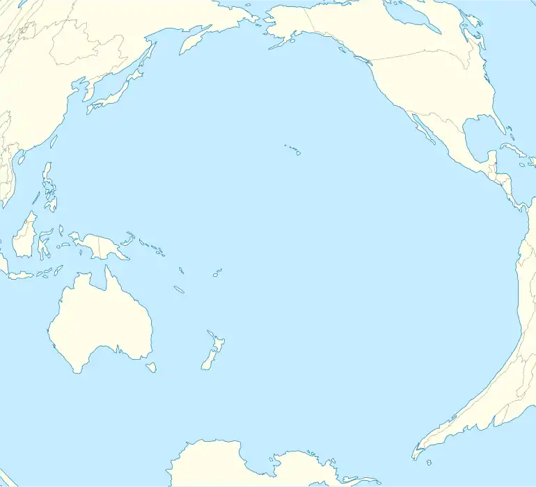 AHE Location of the airport in the Pacific Ocean | |||||||||||
| Runways | |||||||||||
| |||||||||||
Source: French AIP.[1] | |||||||||||
Ahe Airport (IATA: AHE, ICAO: NTHE) is an airport on Ahe (Tenukupara), an atoll in French Polynesia (IATA: AHE, ICAO: NTHE).
Airlines and destinations
| Airlines | Destinations |
|---|---|
| Air Tahiti[2] | Arutua, Manihi, Papeete |
Statistics
Annual passenger traffic at AHE airport.
See Wikidata query.
See also
References
- ↑ NTHE – Ahe. AIP from French Service d'information aéronautique, effective 30 November 2023.
- ↑ "Download forecast schedule - Official website - Air Tahiti".
External links
Tuamotus Gambiers | Islands/Atolls | ||
|---|---|---|---|
| Island groups | |||
This article is issued from Wikipedia. The text is licensed under Creative Commons - Attribution - Sharealike. Additional terms may apply for the media files.