Évriguet
Evriged | |
|---|---|
.svg.png.webp) Coat of arms | |
Location of Évriguet | |
 Évriguet 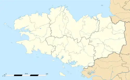 Évriguet | |
| Coordinates: 48°04′47″N 2°24′37″W / 48.0797°N 2.4103°W | |
| Country | France |
| Region | Brittany |
| Department | Morbihan |
| Arrondissement | Pontivy |
| Canton | Ploërmel |
| Intercommunality | Ploërmel Communauté |
| Government | |
| • Mayor (2020–2026) | Sophie Coutant[1] |
| Area 1 | 4.98 km2 (1.92 sq mi) |
| Population | 205 |
| • Density | 41/km2 (110/sq mi) |
| Time zone | UTC+01:00 (CET) |
| • Summer (DST) | UTC+02:00 (CEST) |
| INSEE/Postal code | 56056 /56490 |
| Elevation | 67–112 m (220–367 ft) |
| 1 French Land Register data, which excludes lakes, ponds, glaciers > 1 km2 (0.386 sq mi or 247 acres) and river estuaries. | |
Évriguet (Evriged in Breton) is a commune in the Morbihan department of Brittany in north-western France.[3] Inhabitants of Évriguet are called in French Évriguetois.
See also
References
- ↑ "Répertoire national des élus: les maires" (in French). data.gouv.fr, Plateforme ouverte des données publiques françaises. 13 September 2022.
- ↑ "Populations légales 2020". The National Institute of Statistics and Economic Studies. 29 December 2022.
- ↑ INSEE commune file
External links
- Official website

- Mayors of Morbihan Association (in French)
Wikimedia Commons has media related to Évriguet.
This article is issued from Wikipedia. The text is licensed under Creative Commons - Attribution - Sharealike. Additional terms may apply for the media files.