Wölfershausen | |
|---|---|
Location of Wölfershausen | |
 Wölfershausen 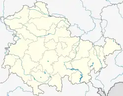 Wölfershausen | |
| Coordinates: 50°29′28″N 10°26′4″E / 50.49111°N 10.43444°E | |
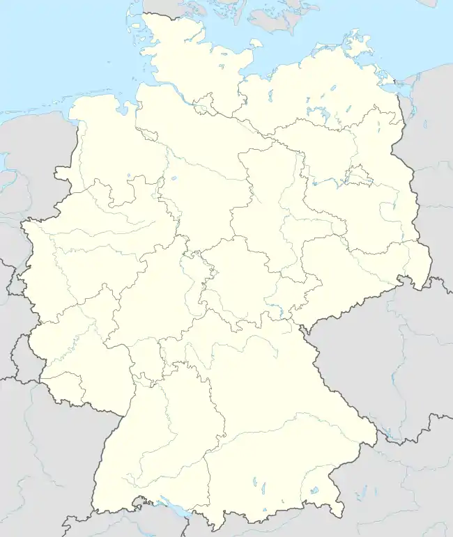
| Country | Germany |
| State | Thuringia |
| District | Schmalkalden-Meiningen |
| Municipality | Grabfeld |
| Area | |
| • Total | 4.35 km2 (1.68 sq mi) |
| Elevation | 334 m (1,096 ft) |
| Population (2017-12-31) | |
| • Total | 357 |
| • Density | 82/km2 (210/sq mi) |
| Time zone | UTC+01:00 (CET) |
| • Summer (DST) | UTC+02:00 (CEST) |
| Postal codes | 98617 |
| Dialling codes | 036947 |
| Vehicle registration | SM |
Wölfershausen is a village and a former municipality in the district Schmalkalden-Meiningen, in Thuringia, Germany. Since 1 January 2019, it is part of the municipality Grabfeld.
References
This article is issued from Wikipedia. The text is licensed under Creative Commons - Attribution - Sharealike. Additional terms may apply for the media files.