Petőháza | |
|---|---|
 Coat of arms | |
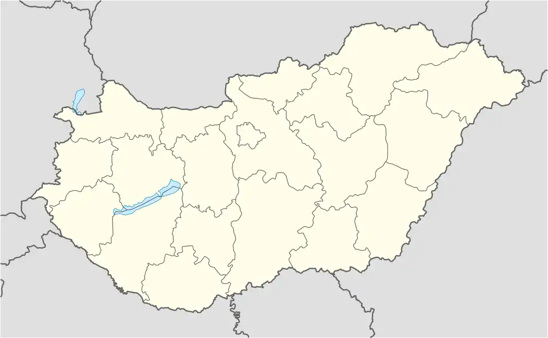 Petőháza Location of Petőháza | |
| Coordinates: 47°35′41″N 16°53′36″E / 47.59481°N 16.89336°E | |
| Country | |
| County | Győr-Moson-Sopron |
| Area | |
| • Total | 2.64 km2 (1.02 sq mi) |
| Population (2004) | |
| • Total | 1,048 |
| • Density | 396.96/km2 (1,028.1/sq mi) |
| Time zone | UTC+1 (CET) |
| • Summer (DST) | UTC+2 (CEST) |
| Postal code | 9443 |
| Area code | 99 |
Petőháza is a village in Győr-Moson-Sopron county, Hungary.
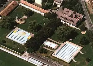
Aerial photography of Petőháza
External links
- Street map (in Hungarian)
This article is issued from Wikipedia. The text is licensed under Creative Commons - Attribution - Sharealike. Additional terms may apply for the media files.