Ocourt | |
|---|---|
 Coat of arms | |
Location of Ocourt | |
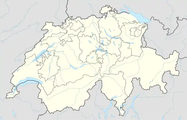 Ocourt 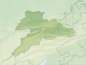 Ocourt | |
| Coordinates: 47°21′N 07°05′E / 47.350°N 7.083°E | |
| Country | Switzerland |
| Canton | Jura |
| District | Porrentruy |
| Area | |
| • Total | 1,163 km2 (449 sq mi) |
| Elevation | 424 m (1,391 ft) |
| Population (2003) | |
| • Total | 137 |
| • Density | 0.12/km2 (0.31/sq mi) |
| Time zone | UTC+01:00 (Central European Time) |
| • Summer (DST) | UTC+02:00 (Central European Summer Time) |
| Postal code(s) | 2889 |
| SFOS number | 6798 |
| Surrounded by | Epiquerez, Seleute, Saint-Ursanne, Montmelon, Courgenay, Fontenais, Bressaucourt, Montancy(F), Brémoncourt(F) |
| Website | SFSO statistics |
Ocourt is a village and former municipality in the district of Porrentruy of the canton of Jura in Switzerland. Since January 1, 2009 it is a part of the new municipality Clos du Doubs.
References

Ocourt
Wikimedia Commons has media related to Ocourt.
This article is issued from Wikipedia. The text is licensed under Creative Commons - Attribution - Sharealike. Additional terms may apply for the media files.