New Creek | |
|---|---|
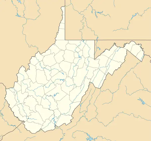
_just_north_of_U.S._Route_50_(George_Washington_Highway)_in_New_Creek%252C_Mineral_County%252C_West_Virginia.jpg.webp) West Virginia Route 972 in New Creek | |
 New Creek Location within the state of West Virginia  New Creek New Creek (the United States) | |
| Coordinates: 39°22′30″N 79°1′36″W / 39.37500°N 79.02667°W | |
| Country | United States |
| State | West Virginia |
| County | Mineral |
| Time zone | UTC-5 (Eastern (EST)) |
| • Summer (DST) | UTC-4 (EDT) |
| ZIP codes | 26743 |
| GNIS feature ID | 1555204[1] |
New Creek is an unincorporated community in Mineral County, West Virginia, United States. It lies near the intersection of New Creek and U.S. Route 50, and is 6 miles (9.7 km) south of Keyser. The ZIP code for New Creek is 26743.
During the Civil War, this community was the site of a military skirmish between Union and Confederate troops on June 19, 1861.
References
Municipalities and communities of Mineral County, West Virginia, United States | ||
|---|---|---|
| City | 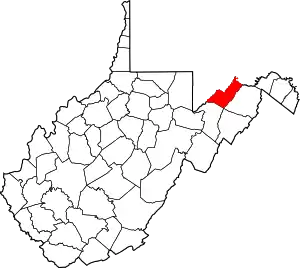 Map of West Virginia highlighting Mineral County | |
| Towns | ||
| CDPs | ||
| Other localities |
| |
| Ghost towns | ||
| Footnotes | ‡This populated place also has portions in an adjacent county or counties | |
This article is issued from Wikipedia. The text is licensed under Creative Commons - Attribution - Sharealike. Additional terms may apply for the media files.