| Mount Nekomadake | |
|---|---|
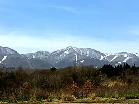 SE side in winter | |
| Highest point | |
| Elevation | 1,403.6 m (4,605 ft) |
| Coordinates | 37°36′41.9″N 140°01′42.1″E / 37.611639°N 140.028361°E |
| Naming | |
| Native name | 猫魔ヶ岳 (Japanese) |
| Geography | |
| Geology | |
| Mountain type | Stratovolcano-Caldera |
| Climbing | |
| Easiest route | Happōdai Tozanguchi (八方台登山口) |

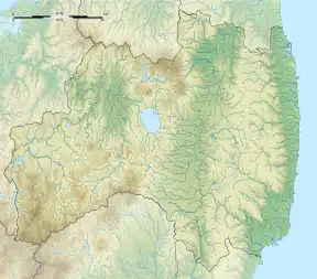
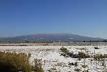
Mount Nekomadake (猫魔ヶ岳, Nekoma-dake, Nekoma-gadake) is a stratovolcano located west of Mount Bandai, close to Bandai town and Kitashiobara village in the Fukushima Prefecture, Japan. It is 1,403.6 metres high, and close to Lake Inawashiro and Oguni-numa Pond.
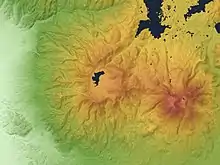
Nekoma volcano (center)
Bandai volcano (right)
Bandai volcano (right)
Nekoma volcano from the SW.
See also
External links
Wikimedia Commons has media related to Mount Nekoma.
- Nekomagatake - Geological Survey of Japan
This article is issued from Wikipedia. The text is licensed under Creative Commons - Attribution - Sharealike. Additional terms may apply for the media files.