Mochau | |
|---|---|
Location of Mochau | |
 Mochau 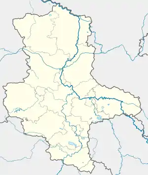 Mochau | |
| Coordinates: 51°56′N 12°41′E / 51.933°N 12.683°E | |
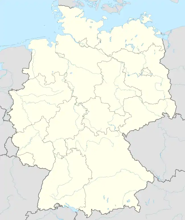
| Country | Germany |
| State | Saxony-Anhalt |
| District | Wittenberg |
| Town | Wittenberg |
| Area | |
| • Total | 10.96 km2 (4.23 sq mi) |
| Elevation | 134 m (440 ft) |
| Population (2006-12-31) | |
| • Total | 568 |
| • Density | 52/km2 (130/sq mi) |
| Time zone | UTC+01:00 (CET) |
| • Summer (DST) | UTC+02:00 (CEST) |
| Postal codes | 06888 |
| Dialling codes | 03491 |
| Vehicle registration | WB |
Mochau is a village and a former municipality in Wittenberg district in Saxony-Anhalt, Germany. Since 1 January 2009, it is part of the town Wittenberg.
Geography
Mochau lies about 7 km north of Lutherstadt Wittenberg in the Fläming.
Economy and transportation
Federal Highway (Bundesstraße) B 2 between Wittenberg and Berlin is about 2 km to the east.
This article is issued from Wikipedia. The text is licensed under Creative Commons - Attribution - Sharealike. Additional terms may apply for the media files.