Matemanga | |
|---|---|
Village and ward | |
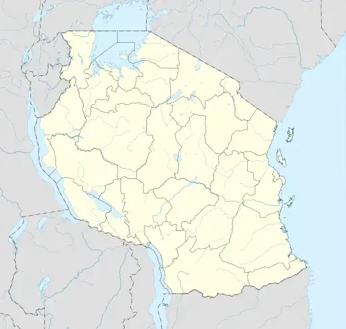 Matemanga Location in Tanzania | |
| Coordinates: 10°45′S 37°0′E / 10.750°S 37.000°E | |
| Country | |
| Region | Ruvuma Region |
| District | Tunduru |
| Time zone | UTC+3 (EAT) |
Matemanga is a village and ward in the Ruvuma Region of southern-central Tanzania. It is located along the A19 road, to the northwest of Tabora.
References
External links
This article is issued from Wikipedia. The text is licensed under Creative Commons - Attribution - Sharealike. Additional terms may apply for the media files.