Harapanahalli | |
|---|---|
City | |
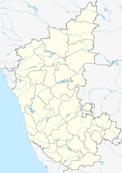 Harapanahalli Location in Karnataka, India  Harapanahalli Harapanahalli (India) | |
| Coordinates: 14°48′N 75°59′E / 14.8°N 75.98°E | |
| Country | |
| State | |
| District | Vijayanagara |
| Government | |
| • Body | Town Municipal Council (TMC) |
| Area | |
| • City | 41 km2 (16 sq mi) |
| • Rural | 1,396 km2 (539 sq mi) |
| Elevation | 640 m (2,100 ft) |
| Population (2011) | |
| • City | 47,039 [1] |
| • Rural | 254,964 |
| Languages | |
| • Official | Kannada |
| Time zone | UTC+5:30 (IST) |
| PIN | 583 131 |
| Telephone code | +918398 |
| Vehicle registration | KA-35 |
| Distance from Hosapete | 78 kilometres (48 mi) |
| Distance from Bengaluru | 292 kilometres (181 mi) |
| Website | http://www.harapanahallitown.mrc.gov.in |
Harapanahalli is a city and a taluk in Vijayanagara District in the Indian state of Karnataka. It is the administrative headquarters of the Harapanahalli Taluk.
In 1947, the 30th Kannada Sahithya Sammelana was organised in Harapanahalli under the presidency of C. K. Venkataramayya.
Geography
Harapanahalli is located at 14°48′N 75°59′E / 14.8°N 75.98°E.[2] It has an Average Elevation of 633 metres (2076 feet) away from the sea level. Harapanahalli is surrounded by several districts like Davanagere in the South, Chithradurga in the Southeast, Haveri in the West. Harapanahalli had worked under Bellari, Davanagere districts and Now it is working under Vijayanagara District. "Haripura" was the old name of Harapanahalli and it has a sub divisional Assistant Commissioner office. It had 81 villages in its taluk boundary, and it is one of the oldest high revenue, high trading and educational outposts since the Madras Presidency.
Demographics
As of 2001 India census,[3] Harapanahalli had a population of 41,889. Males constituted 52% of the population and females 48%. Harapanahalli had an average literacy rate of 55%, lower than the national average of 59.5%: male literacy was 60%, and female literacy was 48%. 14% of the population was under 6 years of age.
Transportation
Roadway Transportation
Harapanahalli has a good road connectivity. SH-25, SH-2, SH-47, and SH-150 pass through the town. Three branches of KSRTC operate here. Harapanahalli bus stand comes under Kalyana Karnataka Road Transport Corporation and KKRTC also has a bus depot here, under Hospet division. The bus services are being provided to most of the villages of Harapanahalli, Davanagere, Hadagali, Haveri, Ranebennur, Kudligi, Hagaribommanahalli and Harihara taluks regions. the buses are operated to Bengaluru, Hyderabad, Mangaluru, Mantralayam, Srisailam, Kalaburgi, Vijayapura, Madikeri, Subrahmanya, Dharmasthala, Bellary, Panjim, Mysore, Hubli, Bidar, Bagalkot, Sholhapur, Gadag, Haveri, Karwar, Raichur, Sindhanur, Kundapur etc.
Railway Transportation
Harapanahalli has a railway line passing through the city. The railway station is called Harapanahalli Railway Station (Station Code: HPHI) which is within the city limits. It is a single track diesel line. and it lies between Hosapete - Davanagere section of South Western Railways of Mysuru division. Now 6 trains are passing through this station. New survey of Gadag Junction - Harapanahalli 93 km railway line project physical survey is completed report submitted to SWR board UBL(Hubli) & it was considered.
Airway Transportation
The nearest Airport to Harapanahalli is Jindal Vijayanagara Airport (IATA:VDY) at Toranagallu. which is at a distance of around 94 km along the fastest route. Flights are available from here to all the major Indian metropolis cities like Bengaluru, Hyderabad, Mumbai, Mangaluru, Panajim, and Hubli. The Hubli Airport (IATA:HBX) is 152 km far and The Kempegowda International airport (IATA:BLR) Bengaluru is 302 km far from here.
Education
There are several private and government primary and high schools including (CBSE) syllabus with Pharmacy, PU, ITI and UG colleges.
See also
References
- ↑ "Census Data Handbook 2011" (PDF). Retrieved 1 November 2023.
- ↑ Falling Rain Genomics, Inc - Harapanahalli
- ↑ "Census of India 2001: Data from the 2001 Census, including cities, villages and towns (Provisional)". Census Commission of India. Archived from the original on 16 June 2004. Retrieved 1 November 2008.