Greeneville Municipal Airport | |||||||||||
|---|---|---|---|---|---|---|---|---|---|---|---|
| Summary | |||||||||||
| Airport type | Public | ||||||||||
| Owner | Town of Greeneville | ||||||||||
| Location | Greeneville, Tennessee | ||||||||||
| Elevation AMSL | 1,608 ft / 490 m | ||||||||||
| Coordinates | 36°11′35″N 082°48′54″W / 36.19306°N 82.81500°W | ||||||||||
| Map | |||||||||||
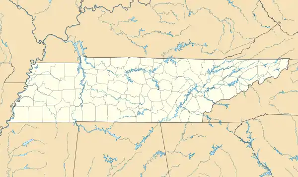 GCY Location of airport in Tennessee | |||||||||||
| Runways | |||||||||||
| |||||||||||
| Statistics (2019) | |||||||||||
| |||||||||||
Greeneville Municipal Airport (IATA: GCY, ICAO: KGCY, FAA LID: GCY) is a public airport located two miles (3 km) north of the central business district of Greeneville, a town in Greene County, Tennessee, United States. It is owned by the Town of Greeneville.[1]
Facilities and aircraft
Greeneville Municipal Airport covers an area of 160 acres (65 ha) which contains one asphalt paved runway (5/23) measuring 6,300 x 100 ft (1,920 x 30 m). For the 12-month period ending August 31, 2019, the airport had 37,730 aircraft operations, an average of 103 per day: 80% general aviation, 19% air taxi, and 1% military.[1]
References
- 1 2 3 FAA Airport Form 5010 for GCY PDF, effective 2023-09-07
External links
- Greeneville Municipal Airport page at Tennessee DOT Airport Directory
- Resources for this airport:
- FAA airport information for GCY
- AirNav airport information for GCY
- ASN accident history for GCY
- FlightAware airport information and live flight tracker
- SkyVector aeronautical chart for GCY
This article is issued from Wikipedia. The text is licensed under Creative Commons - Attribution - Sharealike. Additional terms may apply for the media files.