Gnadau | |
|---|---|
Location of Gnadau | |
 Gnadau 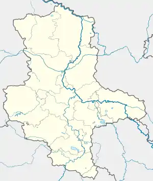 Gnadau | |
| Coordinates: 51°58′N 11°47′E / 51.967°N 11.783°E | |
| Country | Germany |
| State | Saxony-Anhalt |
| District | Salzlandkreis |
| Town | Barby |
| Area | |
| • Total | 3.63 km2 (1.40 sq mi) |
| Elevation | 49 m (161 ft) |
| Population (2009-12-31) | |
| • Total | 523 |
| • Density | 140/km2 (370/sq mi) |
| Time zone | UTC+01:00 (CET) |
| • Summer (DST) | UTC+02:00 (CEST) |
| Postal codes | 39249 |
| Dialling codes | 03928 |
| Vehicle registration | SLK |
| Website | www.stadt-barby.de |
Gnadau is a village and a former municipality in the district Salzlandkreis, in Saxony-Anhalt, Germany. Since 1 September 2010, it is part of the town Barby. It was founded as a settlement of the Moravian Church (Herrnhuter Brüdergemeine) in the 1767 and is seat of a number of diaconal institutions. The name means "Meadow of Grace".
References
This article is issued from Wikipedia. The text is licensed under Creative Commons - Attribution - Sharealike. Additional terms may apply for the media files.