Etgersleben | |
|---|---|
 Coat of arms | |
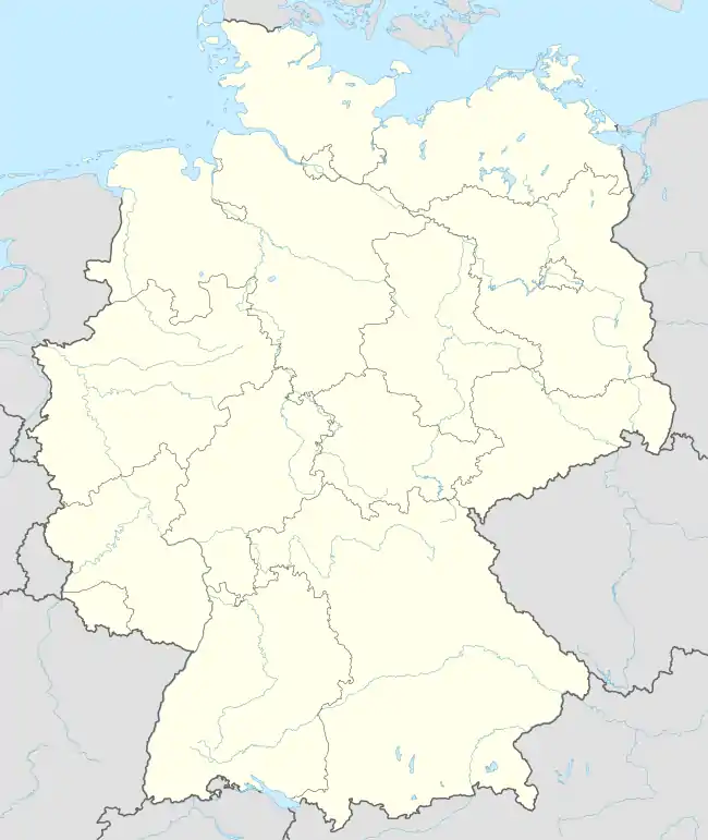
Location of Etgersleben | |
 Etgersleben 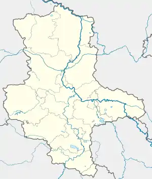 Etgersleben | |
| Coordinates: 51°58′53″N 11°24′39″E / 51.98139°N 11.41083°E | |
| Country | Germany |
| State | Saxony-Anhalt |
| District | Salzlandkreis |
| Municipality | Börde-Hakel |
| Area | |
| • Total | 13.26 km2 (5.12 sq mi) |
| Elevation | 88 m (289 ft) |
| Population (2006-12-31) | |
| • Total | 798 |
| • Density | 60/km2 (160/sq mi) |
| Time zone | UTC+01:00 (CET) |
| • Summer (DST) | UTC+02:00 (CEST) |
| Postal codes | 39448 |
| Dialling codes | 039268 |
Etgersleben is a village and a former municipality in the district Salzlandkreis, in Saxony-Anhalt, Germany. Since 1 January 2010, it is part of the municipality Börde-Hakel.
This article is issued from Wikipedia. The text is licensed under Creative Commons - Attribution - Sharealike. Additional terms may apply for the media files.