Bir Tiguisit
بير تيغیسیت Buir Tiguisit Bir Tighissit | |
|---|---|
Locality | |
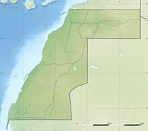 Bir Tiguisit Location in Western Sahara 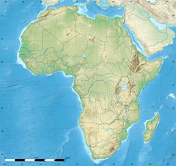 Bir Tiguisit Bir Tiguisit (Africa) | |
| Coordinates: 26°02′02″N 10°22′44″W / 26.03389°N 10.37889°W | |
| Territory | Western Sahara |
| Claimed by | |
| Controlled by | |
| Government | |
| • Type | Locality |
| Area | |
| • Total | 4.8 km2 (1.58 sq mi) |
| Climate | BWh |
Bir Tiguisit, Buir Tiguisit or Bir Tighissit (Arabic: بير تيغیسیت) is a locality located in the southern part of Saguia el-Hamra, in Western Sahara. It is located south of Tifariti, near the border with Mauritania. It is currently controlled by the Polisario Front, in the so-called Liberated Territories or Free Zone. The Moroccan authorities have integrated it into the Es-Semara Province in the region of Laâyoune-Sakia El Hamra.
The demining carried out by MINURSO has made this population revitalized.[1] It consists of a small hospital,[2] a school[1] and some small shops.
Bir Tiguisit is located near the remains of the old Spanish colonial town of Colomina and one of the bases of MINURSO.[3]
References
- 1 2 Misión de las Naciones Unidas para el Referéndum del Sáhara Occidental (MINURSO) (in Spanish)
- ↑ Organigrama del Ministerio de Salud Pública de la R.A.S.D (in Spanish)
- ↑ Territorios liberados del Sáhara Archived 2015-01-02 at the Wayback Machine (in Spanish)
Sahrawi Arab Democratic Republic articles | ||||||||
|---|---|---|---|---|---|---|---|---|
| History |
|  | ||||||
| Geography |
| |||||||
| Politics | ||||||||
| Economy |
| |||||||
| Society | ||||||||
| ||||||||
This article is issued from Wikipedia. The text is licensed under Creative Commons - Attribution - Sharealike. Additional terms may apply for the media files.